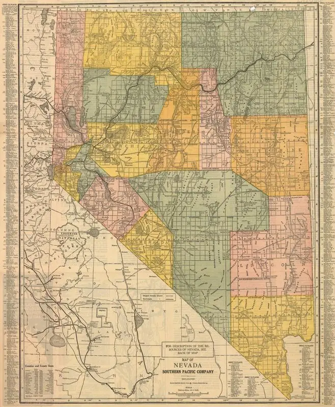
Map of Nevada
1924
(W 120°58ʹ00ʺ--W 113°50ʹ00ʺ/N 42°10ʹ00ʺ--N 35°00ʹ00ʺ).
A vintage map of Nevada, divided into colored counties with roads and geographical features depicted. Text is present in columns along the left and right edges, and in various labels across the map. A vintage map of Nevada, divided into colored counties with roads and geographical features depicted. Text is present in columns along the left and right edges, and in various labels across the map. Shows railroads and wagon roads. MAP HMC01.3747
Tags
You may like
Building a new visual wall from this artwork...