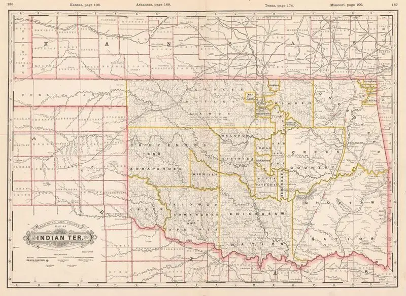
Railroad and county map of Indian Ter
Cram, George Franklin, 1841-1928
1888
(W 103°00ʹ00ʺ--W 94°25ʹ00ʺ/N 38°14ʹ00ʺ--N 33°30ʹ00ʺ).
A historical map displays railroads and county boundaries within Indian Territory. The map is detailed with numerous place names and geographical features. Relief shown by hachures. MAP HMC01.6395
Tags
You may like
Building a new visual wall from this artwork...