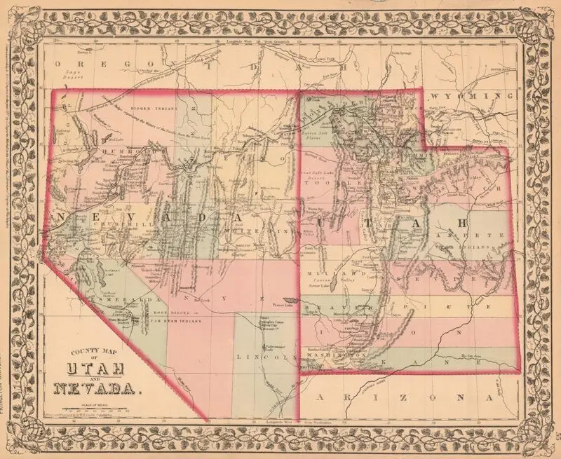
County map of Utah and Nevada
1870
(W 120°15ʹ00ʺ--W 108°40ʹ00ʺ/N 42°30ʹ00ʺ--N 36°15ʹ00ʺ).
A county map of Utah and Nevada from 1870, featuring a decorative border and detailed geographical information. A county map of Utah and Nevada from 1870, featuring a decorative border and detailed geographical information. Relief shown by hachures and spot heights. MAP HMC01.1261
Tags
You may like
Building a new visual wall from this artwork...