Catholic University of Leuven
1 work surfaced for this tag.
saved.works
tag
Tag
Coastline is a browsable saved.works tag spanning 24 works by 20 artists across 14 institutions.
Artists under this tag
2 works surfaced for this tag.
2 works surfaced for this tag.
2 works surfaced for this tag.
2 works surfaced for this tag.
1 work surfaced for this tag.
1 work surfaced for this tag.
1 work surfaced for this tag.
1 work surfaced for this tag.
Museums under this tag
4 works surfaced for this tag.
3 works surfaced for this tag.
3 works surfaced for this tag.
2 works surfaced for this tag.
2 works surfaced for this tag.
2 works surfaced for this tag.
1 work surfaced for this tag.
1 work surfaced for this tag.
Works under this tag
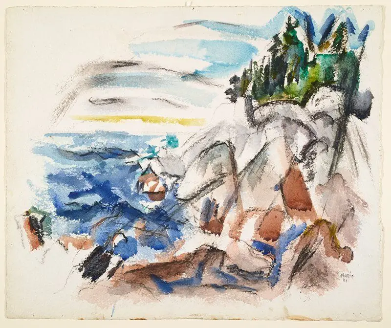
The Sea, Maine
John Marin · 1921
Minneapolis Institute of Art · Watercolor and charcoal on paper
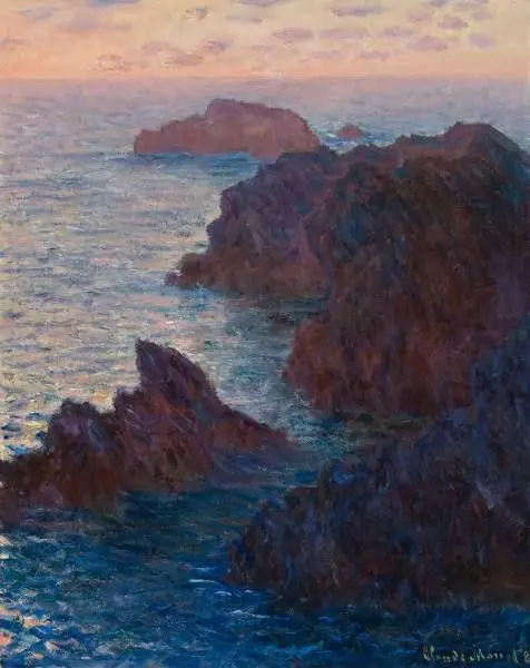
Rocks at Belle-Île, Port-Domois
Claude Monet · 1886
Cincinnati Art Museum · oil on canvas
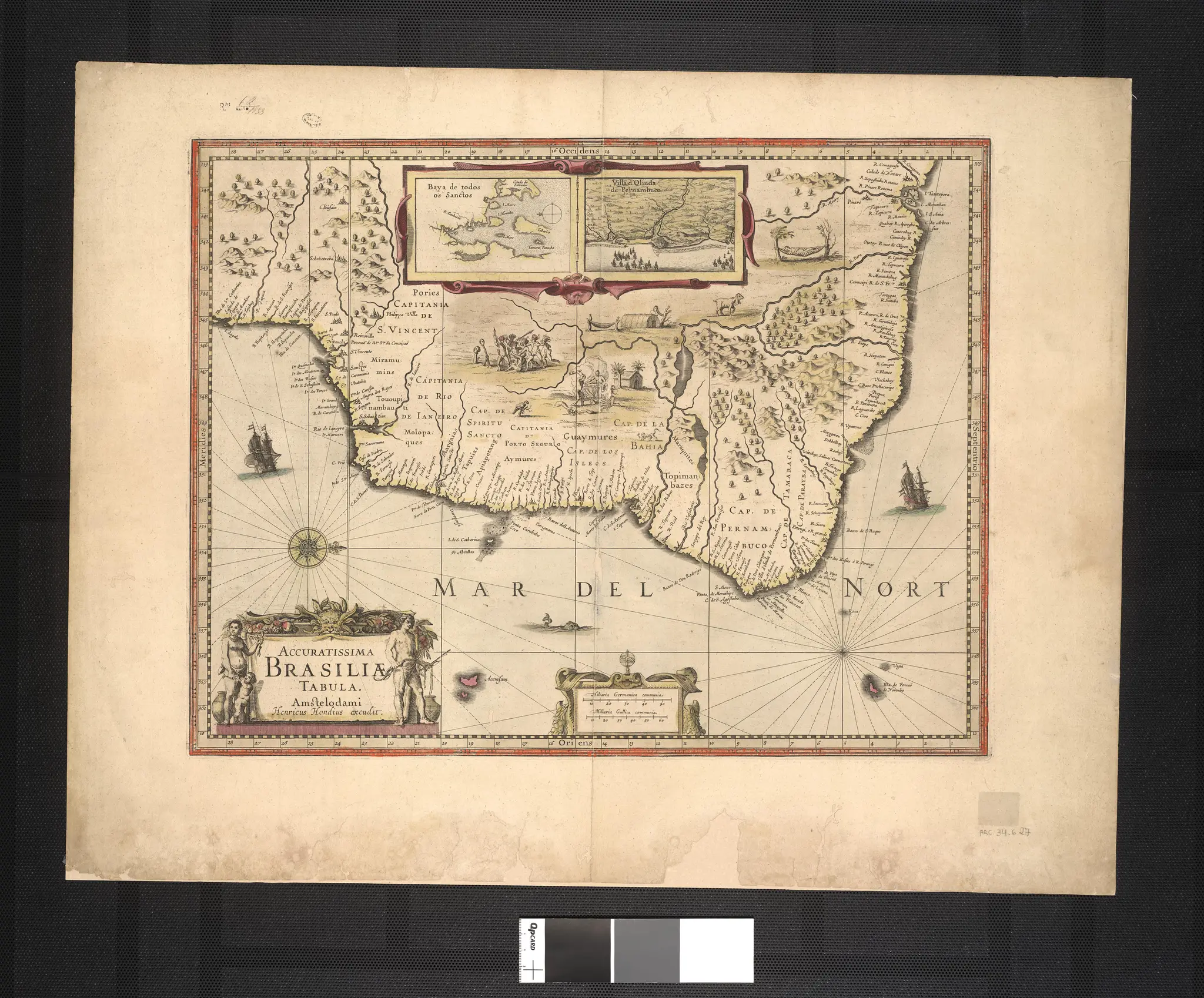
A Most Accurate Picture of Brazil.
Hondius · 1630-01-01
Library of Congress · map
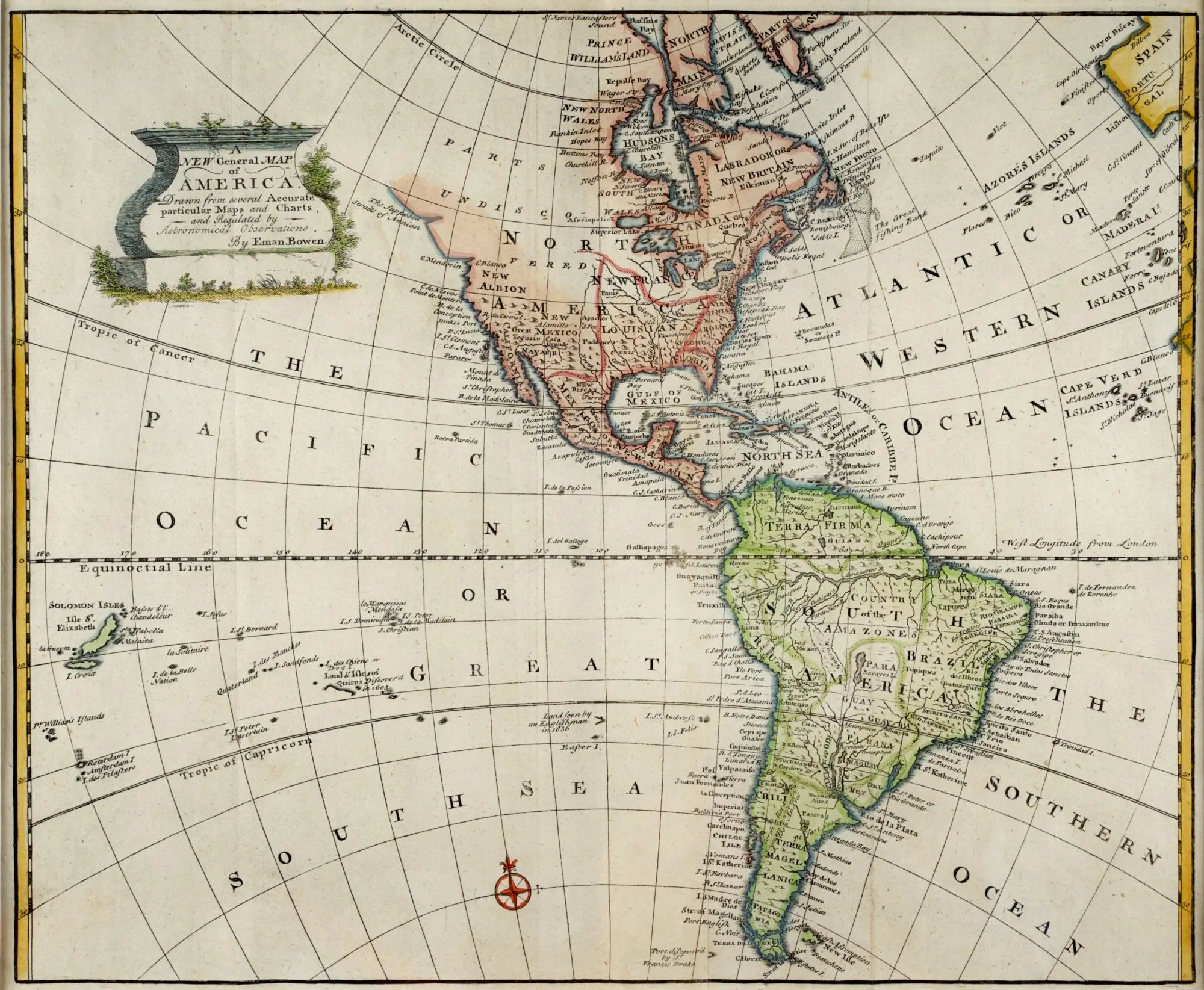
A New General Map of America
Emanuel Bowen · 1740
Gilcrease Museum · Map
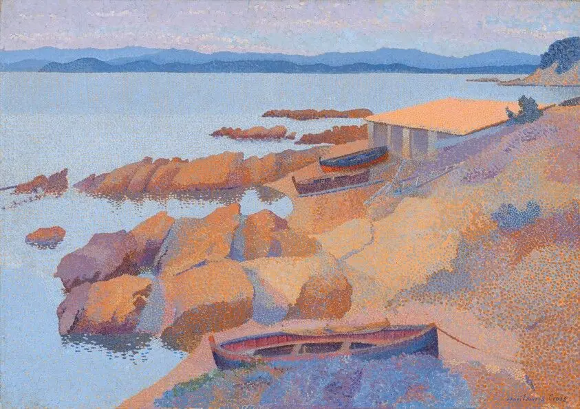
Calanque des Antibois
Cross, Henri Edmond · 1891/1892
National Gallery of Art · oil on canvas
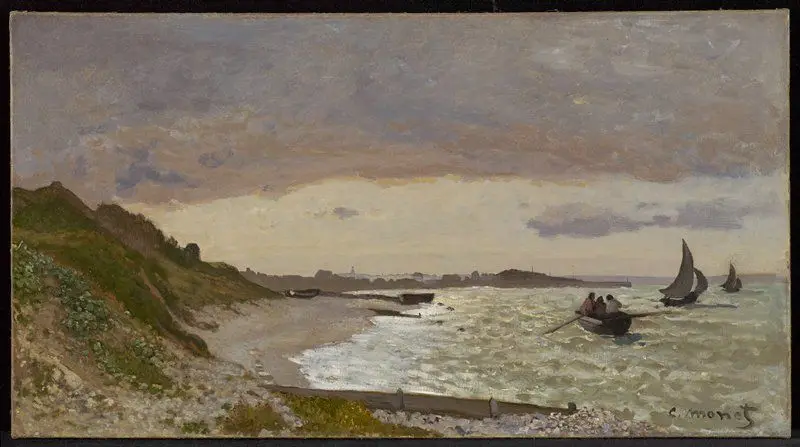
The Seashore at Sainte-Adresse
Claude Monet · 1864
Minneapolis Institute of Art · Oil on canvas
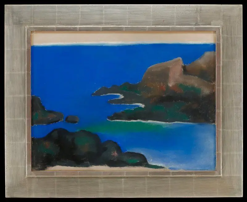
Blue Sea with Rocks
Georgia O'Keeffe · 1922
Minneapolis Institute of Art · Pastel
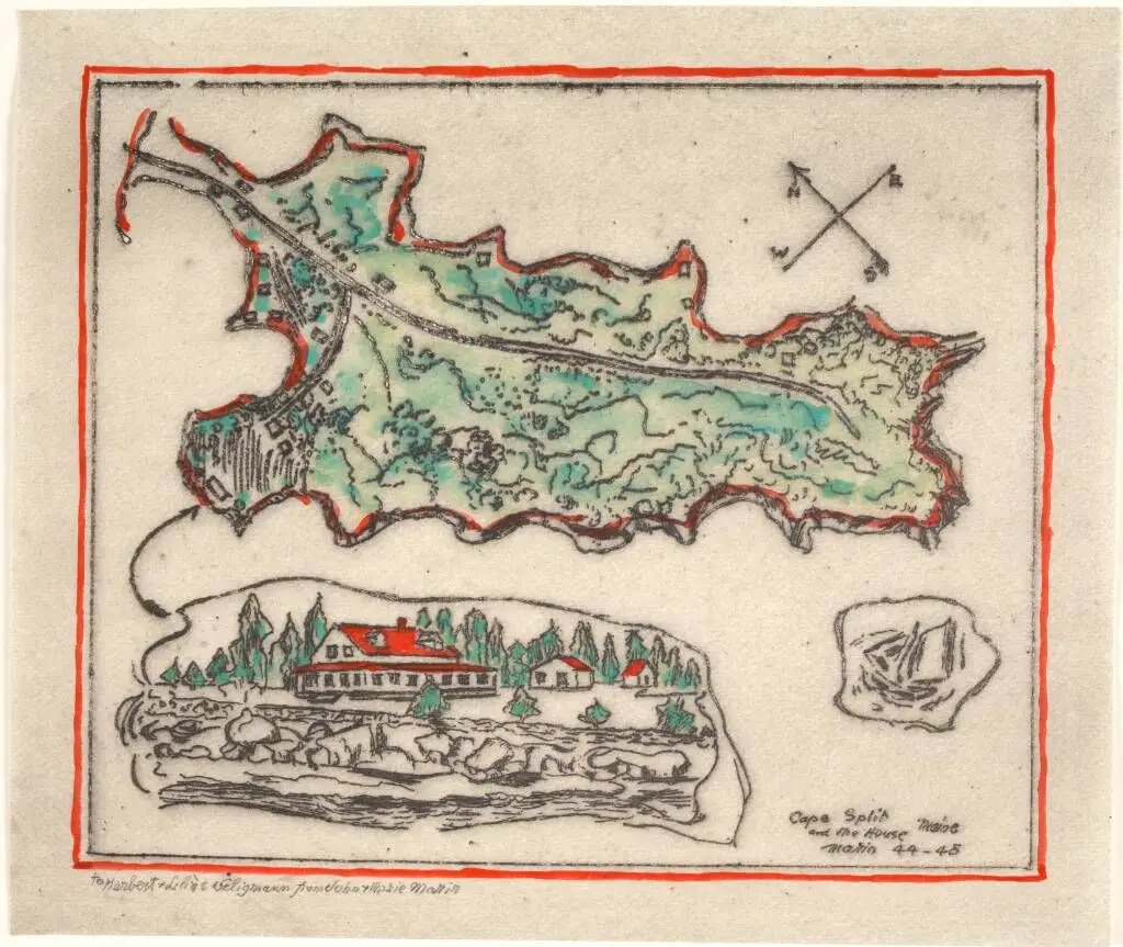
Cape Split and The House, Maine
John Marin · Værkdatering: (1944-1945)
Statens Museum for Kunst · Radering, pensel og vandfarve
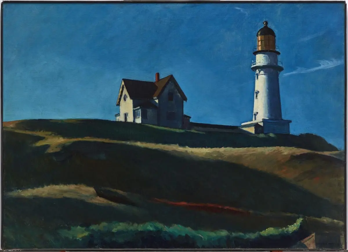
Lighthouse Hill
Edward Hopper · 1927
Dallas Museum of Art · Oil on canvas
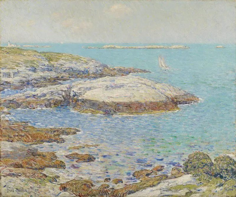
Isles of Shoals
Childe Hassam · 1899
Minneapolis Institute of Art · Oil on canvas
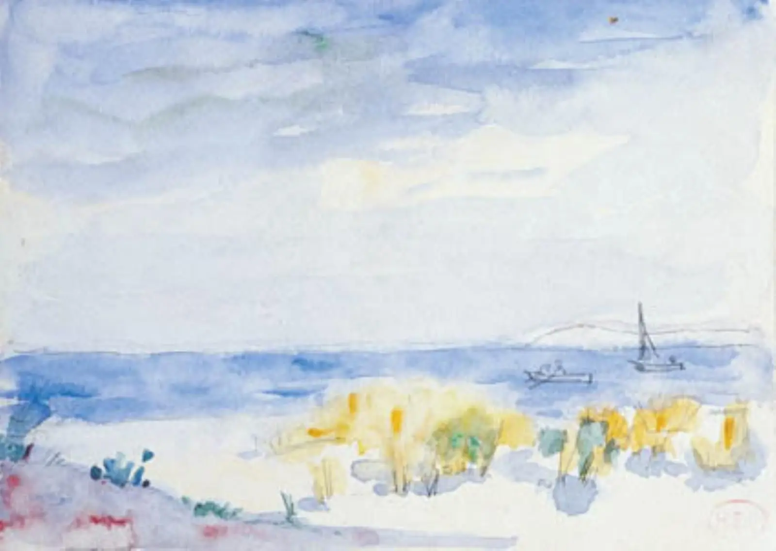
Kystlandskab
Henri Edmond Cross · Værkdatering: 1856-1910
Statens Museum for Kunst · Velin papir
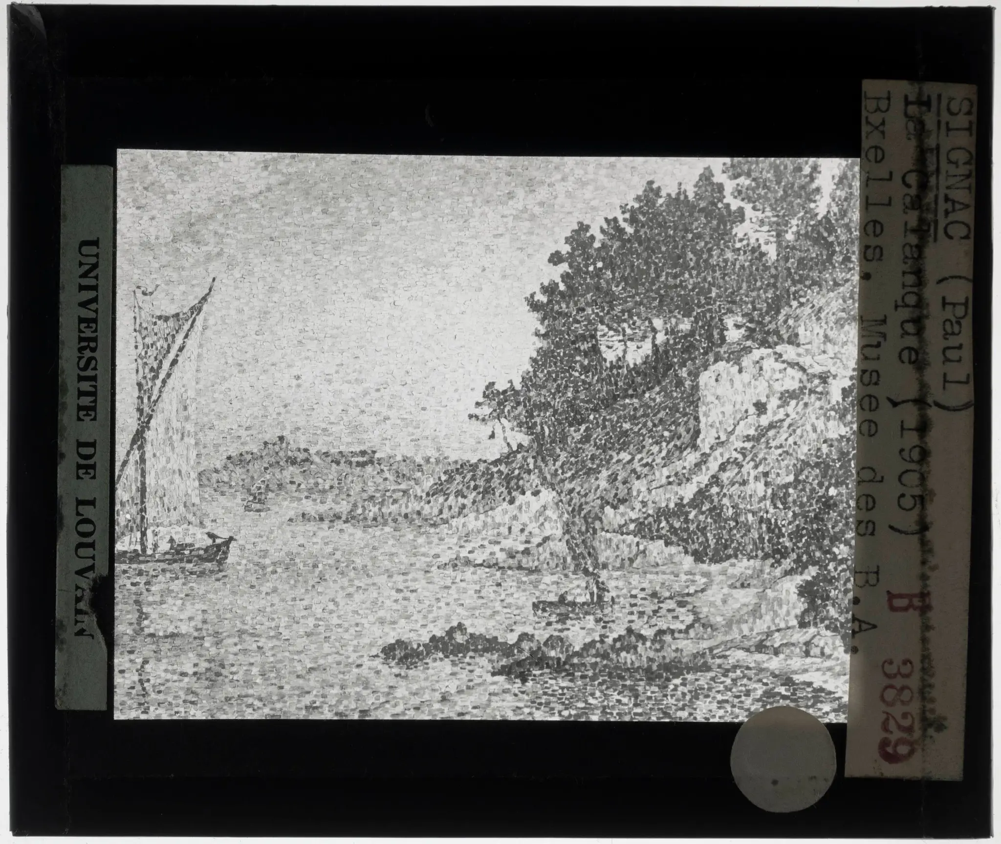
Paul Signac. La Calanque
Paul Signac · 1906
Catholic University of Leuven · KU Leuven. Glass slides art history. Université…
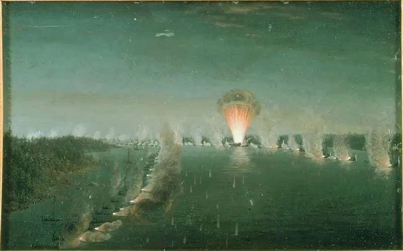
Affären vid Björksund 1790
Johan Tietrich Schoultz
Nationalmuseum · Olja på duk
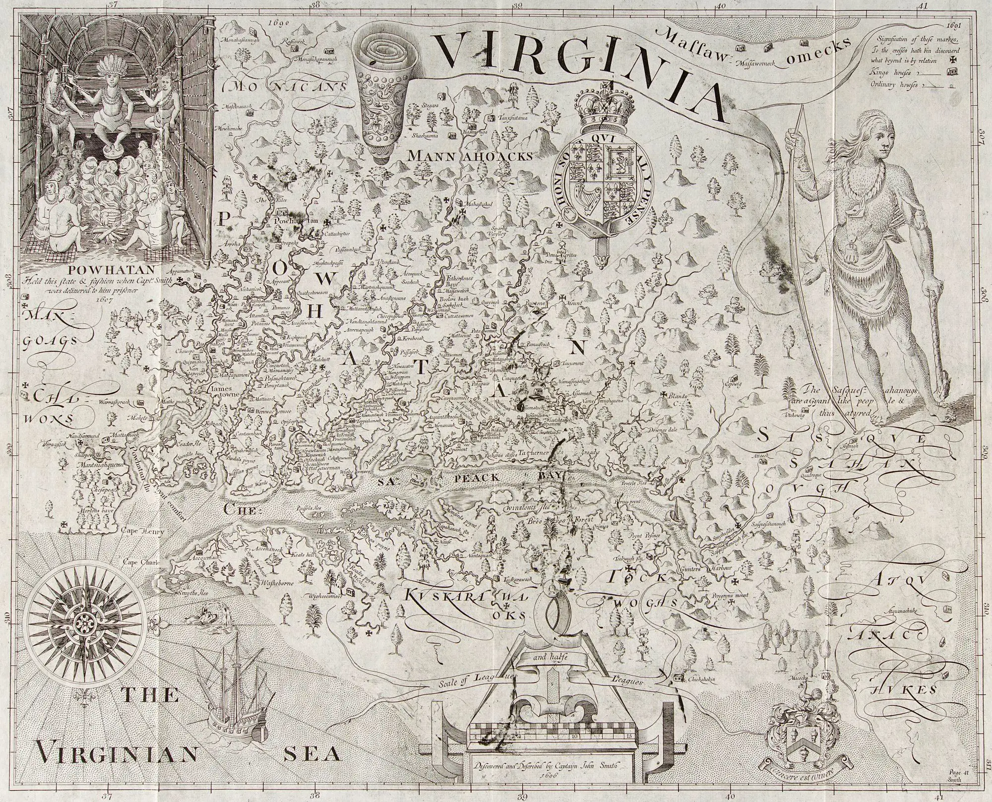
Early map of the colony of Virginia
William Hole · 1612
Gilcrease Museum · Map
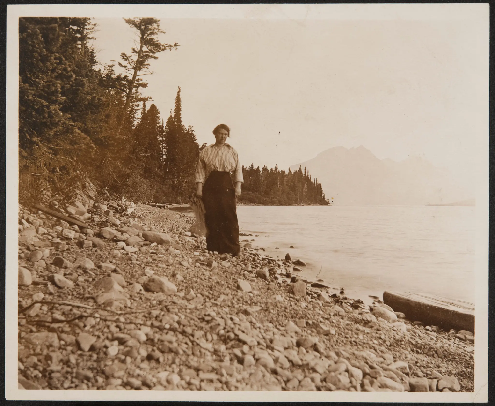
Woman
American · late 19th century - early 20th century
Gilcrease Museum · gelatin silver process
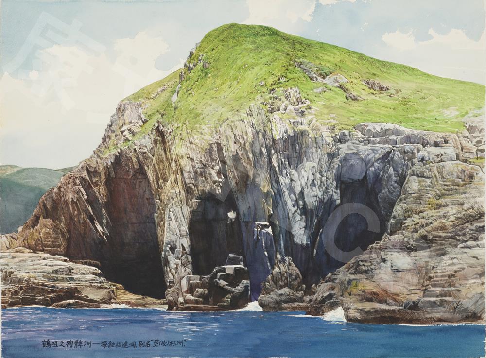
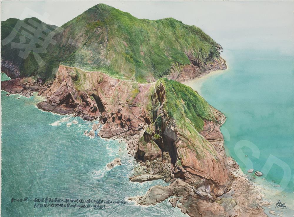
Kau Pei Chau, Cape D'Aguilar
Kong Kai-ming · 2013
Hong Kong Museum of Art · Watercolour on paper
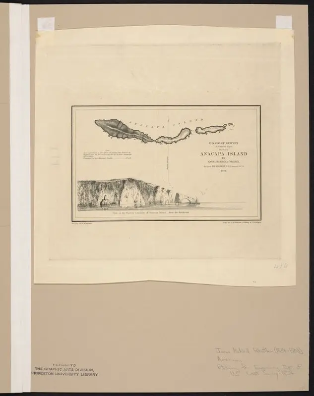
Sketch of Anacapa Island.
Whistler, James McNeill, 1834-1903 · 1854
Princeton Digital PUL · 1 item
Port Island
Kong Kai-ming · 2013
Hong Kong Museum of Art · Watercolour on paper
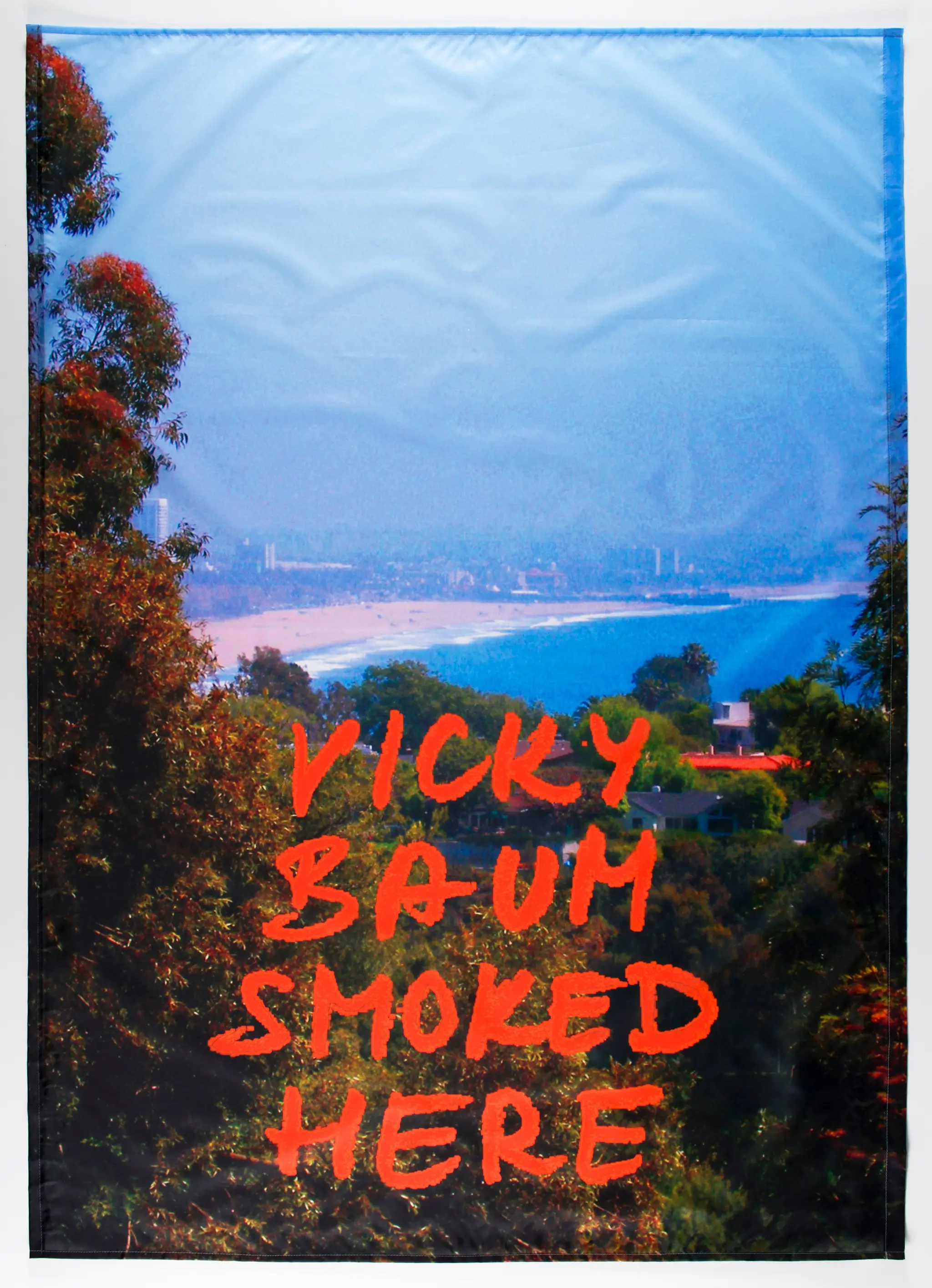
“Vicky Baum Smoked Here” from Smoking Emigrants
Renata Stih, German · 2011–13
Saint Louis Art Museum · Pencil and print on fabric
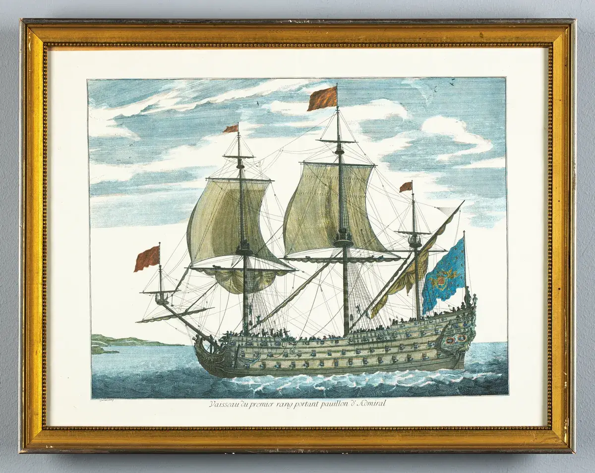
Vaisseau du premier rang portant pauillon & Admiral
Unknown artist
Marinmuseum · Thing
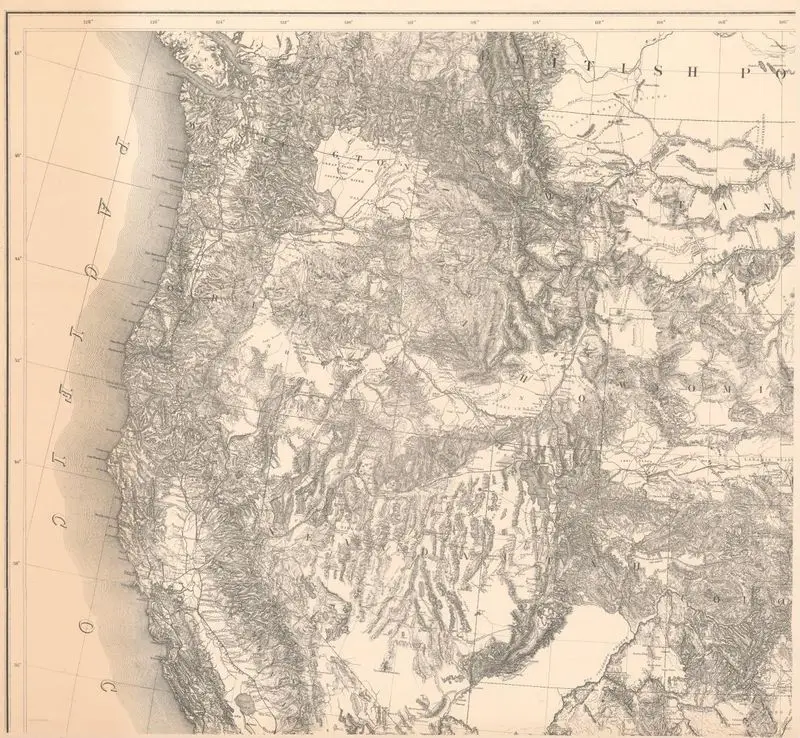
Territory of the United States from the Mississippi River to the Pacific Ocean; originally prepared to accompany the reports of the explorations for a Pacific Railroad route
Freyhold, Edward · 1873
Princeton Digital PUL · 1 map in 4 segments 107 x 118…

Bay view with a small boat and swimmers
Unknown artist · circa 1925
Princeton Digital PUL · 1 folder; 9 x 14 cm.
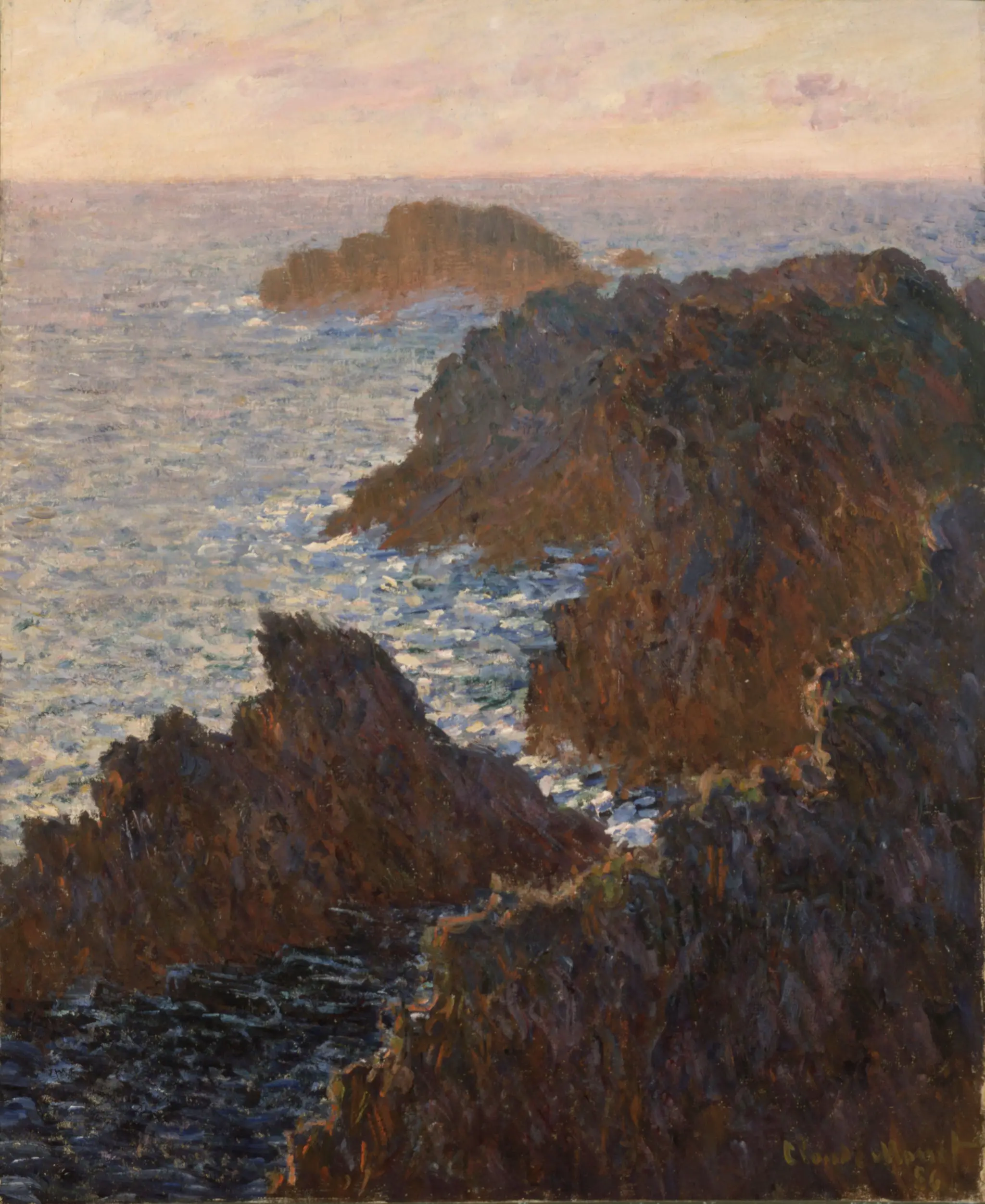
Rocks at Belle-Isle, Port-Domois
Claude Monet, French · 1886
Saint Louis Art Museum · Oil on canvas

Cnidus: Plan of the Harbor and Map of Sites
Giovanni Battista Borra, 1713–1770 · ca. 1750
Yale Center for British Art · Black ink with gray wash over…