Territory of the United States from the Mississippi River to the Pacific Ocean; originally prepared to accompany the reports of the explorations for a Pacific Railroad route
1873
1 map in 4 segments 107 x 118 cm.
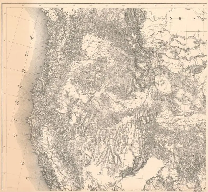
A detailed topographical map shows the western United States, including California, Oregon, Washington, Nevada, Utah, Colorado, Wyoming, and parts of Montana and Idaho. The Pacific Ocean is visible on the left. A detailed topographical map shows the western United States, including California, Oregon, Washington, Nevada, Utah, Colorado, Wyoming, and parts of Montana and Idaho. The Pacific Ocean is visible on the left. Relief shown by hachures and spot heights. MAP HMC01.1141
Tags
You may like
Building a new visual wall from this artwork...