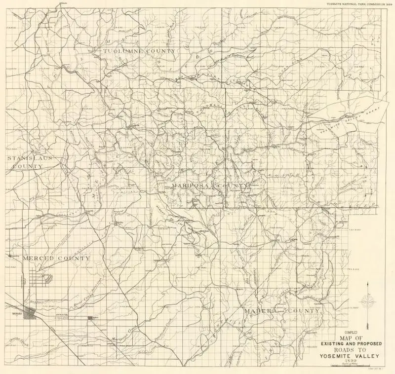
Compiled map of existing and proposed roads to Yosemite Valley, 1899
1899
(W 120°32ʹ00ʺ--W 119°18ʹ00ʺ/N 38°00ʹ00ʺ--N 37°11ʹ00ʺ)
This is a black and white map showing existing and proposed roads to Yosemite Valley in 1899. It details roads, rivers, and county lines across several counties. This is a black and white map showing existing and proposed roads to Yosemite Valley in 1899. It details roads, rivers, and county lines across several counties. Relief shown by spot heights. MAP HMC01.6345
Tags
You may like
Building a new visual wall from this artwork...